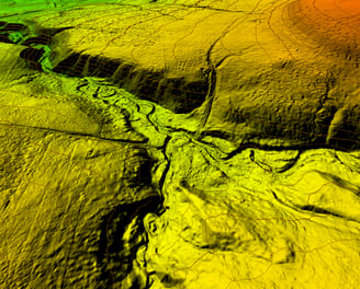
Geospatial Data Management
We offer comprehensive geospatial data management services tailored to your project needs. We can create detailed maps, generate contours, edit Digital Elevation Models (DEM), and extract accurate vector data from your aerial or satellite imagery. Whether you require customized mapping solutions, terrain analysis, or precise vector extraction, we deliver reliable and efficient results to help you make informed decisions and drive your project forward.

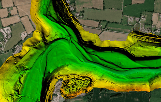
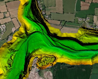
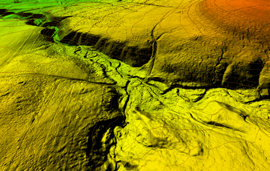
Site Location: Ireland
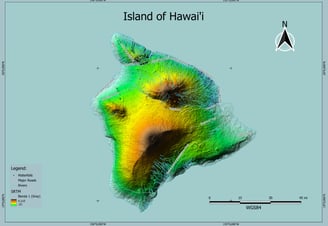
Site Location: United States